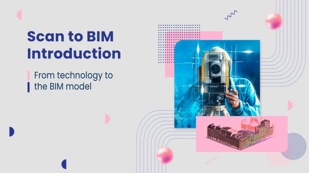
For a long time, laser scanning technology in point cloud format has been breaking into the BIM environment, as it serves as a support to make our BIM models of existing buildings. We have also talked about different technologies to be able to deal with the point cloud. But when do we choose one or the other? What should we keep in mind before scanning? Is it necessary to use transformation software?
MaRS BIM has been working on different projects for a long time where one of the main sources of starting information was a point cloud. We have been able to read different blogs such as How to model from a point cloud, or what is Scan to BIM and what do we need to know before applying it?
What information do we need according to the type of project?
When we must carry out the survey of an existing office building that is empty, or when we need to raise a parking lot with constant activity and in the open air, we cannot consider that the scanning work, nor the detail according to what discipline, nor the definition of the starting information will be the same.
The type of building and its surroundings will greatly affect the type of capture that we must carry out.
Therefore, the first thing we must take into account is what we are going to face in order to define the best work methodology.
What typology of scanning technology is necessary?
There are companies in the market specialized in laser scanning that help us on a day-to-day basis to be able to define the best technology to use depending on the project.
But it is just as important to know, before being able to contract the services, what are the main characteristics of the project and the technological needs that we need, in order to later be able to discriminate those technologies that are not going to provide us with the necessary information from those that do. It will help our end.
What does it depend on? Color, density, structuring and formats, etc.
Read also: The Role Of Scan To BIM In Building Maintenance For Smooth Operations
How do we work with the point cloud in Revit?
If, due to the scope of the project, we decide that working with Revit is sufficient, what must we take into account so that the work is agile and optimal?
How does Revit work with point clouds? What formats does it read? Is the path to the file important? And its weight? Is it necessary to have prepared views? All this must be taken into account and especially if you work with central and local files, since the most important thing in this case is the agility of the files. We cannot allow the format or weight to influence our production.
What if we have point cloud transformation software?
According to what types of projects, we can assess the option of using point cloud transformation software, but do they all work in the same way?
Of course not, several transformation software has also emerged during all this time, which are created by the scanning technology company itself, and others that arise from the need to transform different formats without marrying a specific brand.
In future blog entries, we will see some examples of the needs that each of them may have and that they can contribute to us in the process of treatment and transformation of the point cloud to the BIM modeling.
From MaRS BIM, we have worked on the importance of each of these topics within the Scan to BIM environment and we hope they can help you better understand how we should work with point clouds to transform them into BIM Information Models.


